
photo credit: newstimes.com
Google mappers are hiking the entire 825 miles of Florida coastline. One of the mappers, Gregg Matthews, says “I enjoyed most the desolate stretches of unpopulated islands where literally all I heard for hours was waves and birds,” he said. “This is a way to bring those experiences to people who for whatever reason – health, money, whatever – will never be able to get here.”
The completed beach maps will include views of some small barrier islands, accessible only by boat, as well as glimpses of breathtaking mansions nestled on exclusive stretches of beach. Not included, however, will be some sections of military-owned beaches in the Panhandle that authorities restricted because of security concerns.
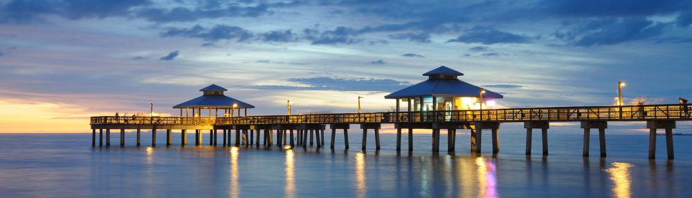
The Florida beaches mapping project is supposed to wrap up sometime in November, so be sure to check back to view Google’s images of Florida beaches. We know we’ll be looking out for our favorite — Fort Myers Beach!
